Words and images by Sarah Swallow
“Embrace the journey, not the destination” – Ralph Waldo Emerson.
My partner, Adam, and I crossed paths on the 2017 inaugural Baja Divide grand departure. Since then, our shared love for adventure and the sea has led us back to the Baja Peninsula and the Gulf of California every year. Nestled in central Baja is a spot we’ve grown to call home for three to four weeks at a time.* Each year, it draws us back with its abundant opportunities for snorkeling, paddling, biking, and hiking, not to mention the vibrant community of fellow adventurers it hosts.
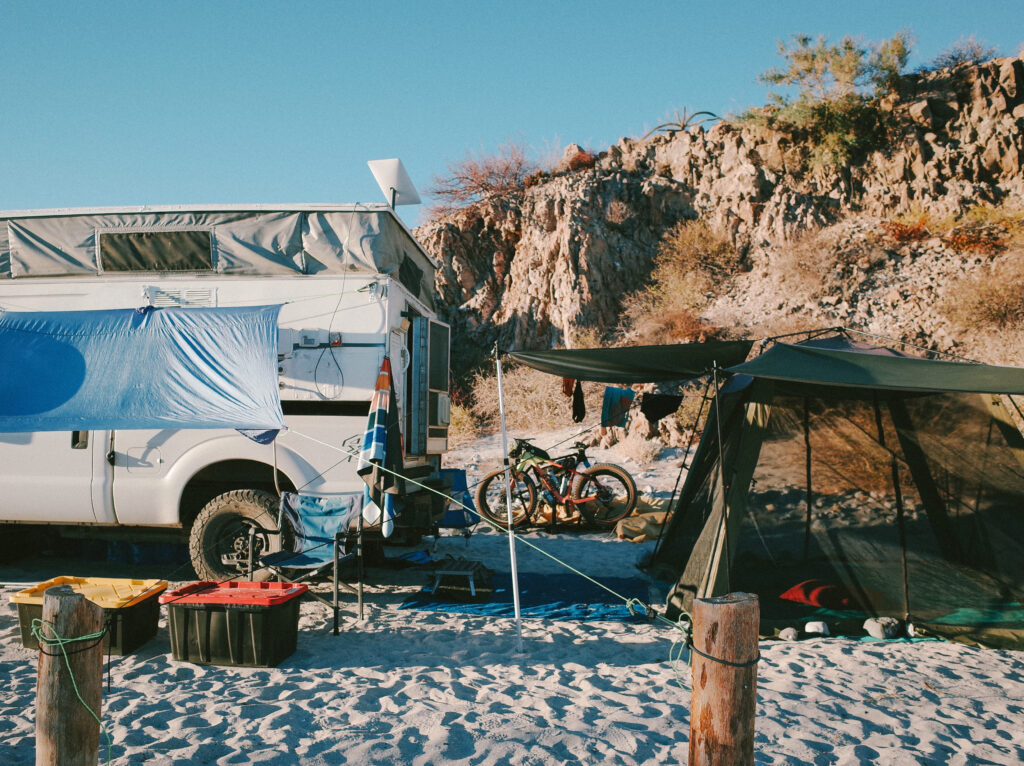
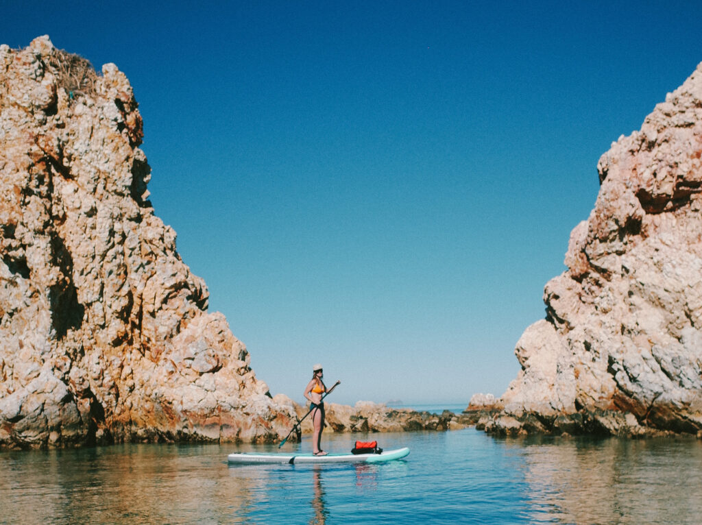
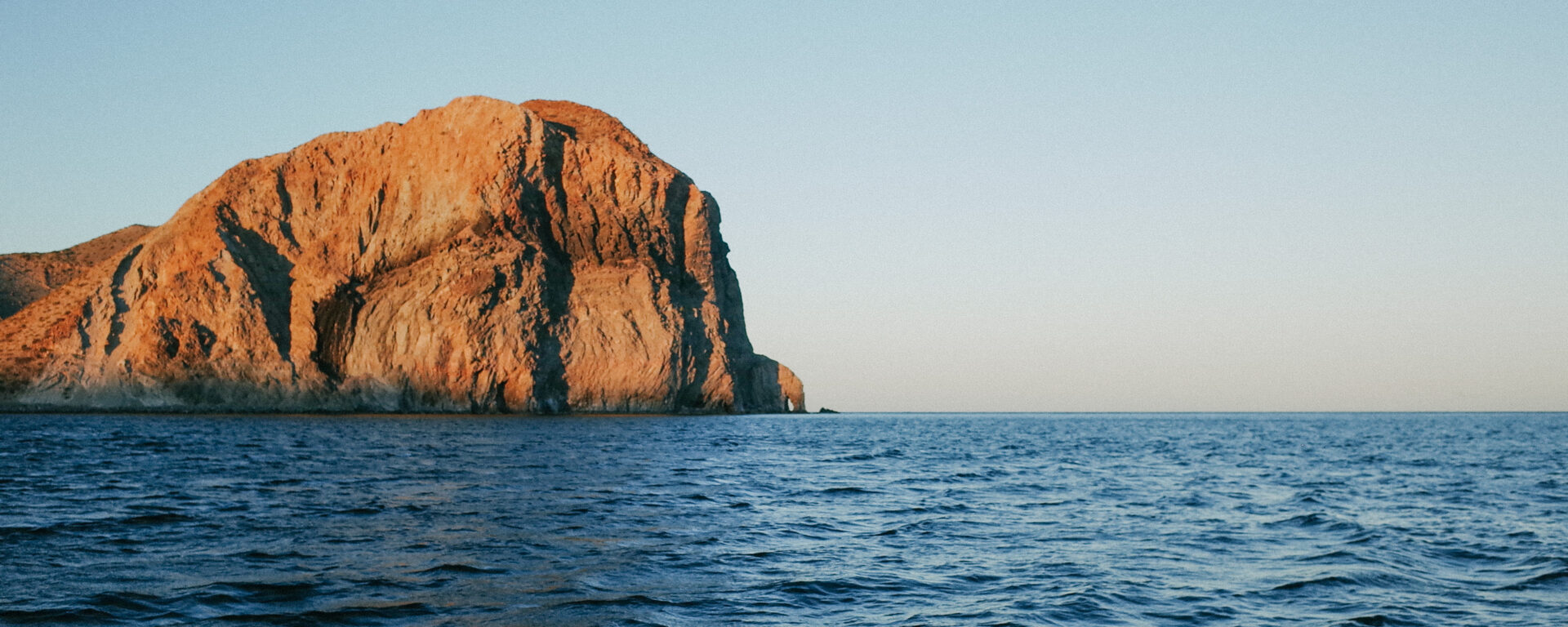
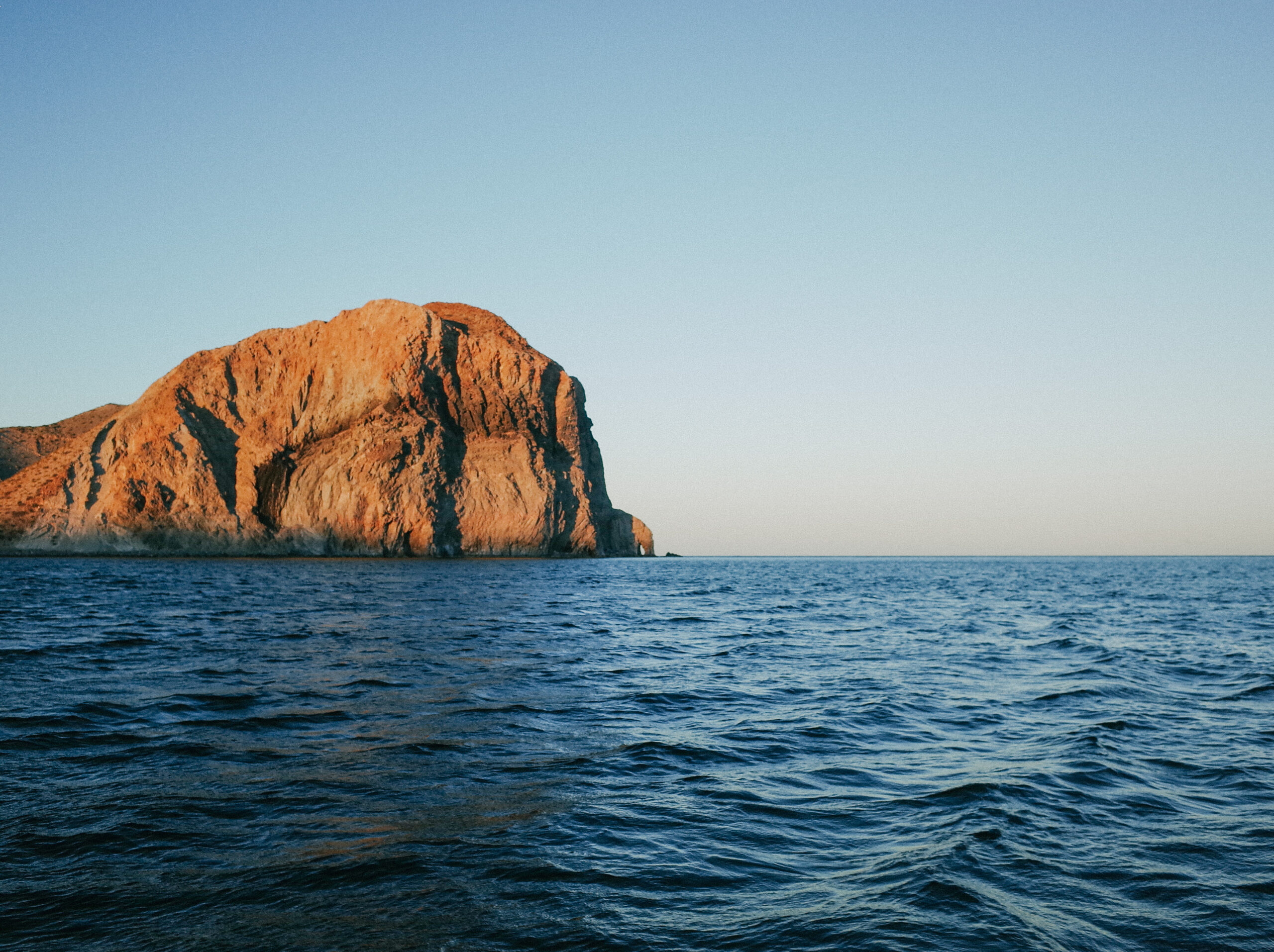
After three weeks at our base camp in December 2023, Adam and I were itching to get on our bikes and explore. Having returned to the same spot year after year, Adam had developed an obsession with the prospect of exploring a distant peninsula that we could only see from specific vantage points around our camp. The tip of the peninsula, Pulpito Point, emerged in elevation dramatically from the surrounding flat land and sea in the shape of an octopus, making it all the more mysterious to us.
Having biked the northern stretch of Concepción Peninsula on the Baja Divide in 2017, I’d yet to explore its southern counterpart. To reach Concepción Peninsula’s north end, Los Hornitos, one must enlist a fisherman to transport you across the Bahía Concepción from Mulegé by boat, which can only be done safely when wind speeds are below twelve nautical miles per hour. During my 2017 Baja Divide journey, I waited four days in Mulegé for favorable wind conditions.
Over time, Adam gathered bits of intel on accessing Pulpito Point from the trickle of visitors coming and going from our base camp. We learned that a beach and land crossing was impossible for our destination due to rock cliffs, and kayaking wasn’t feasible due to the distance and our skill level. Ultimately, we concluded that we needed a boat to drop us off at the south end and another to pick us up from the north to do the ride we wanted.
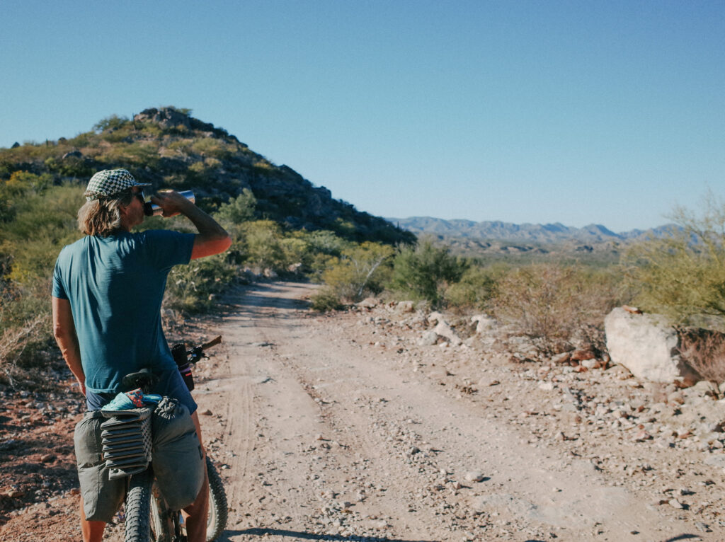
While I was recovering from a back injury, Adam took charge of planning the adventure. He rode to the nearby fishing village to arrange for transportation, and soon enough, a local with a boat from Mulege visited our base camp. Before I knew it, Adam had secured both boat transports. Just as I regained mobility, a brief weather window opened, allowing for a 2-3 day opportunity for both boat crossings. We swiftly packed our bikes and hit the road. However, having base camped for three weeks without resupply, our food supplies were scarce. We packed what we could and hoped the one anticipated resupply along the route would suffice for the rest of our journey.
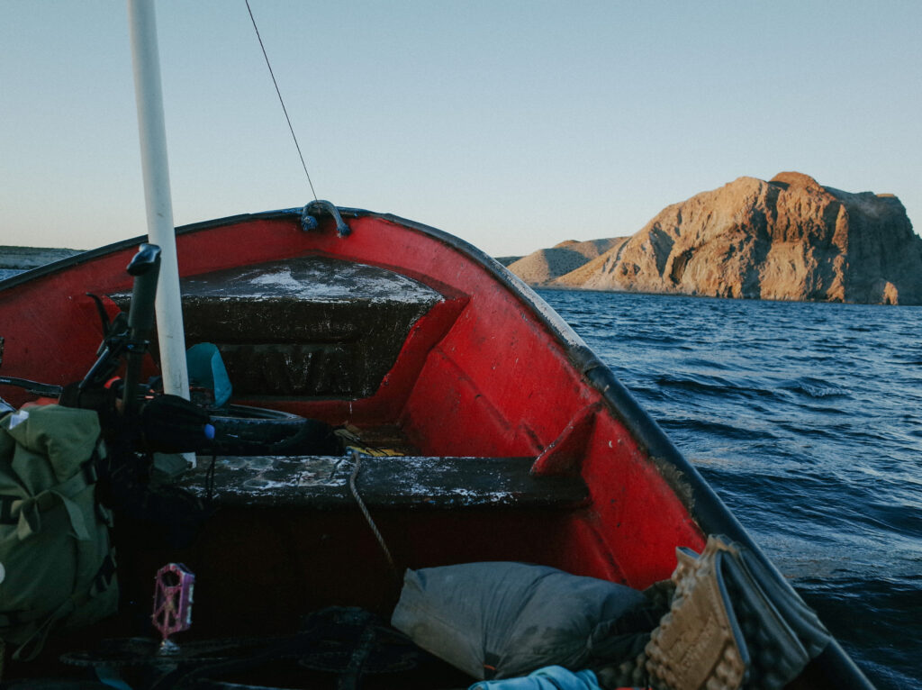
We left our base camp in the afternoon and headed to the nearby village to meet the fisherman who would transport us to Pulpito Point in his panga boat. Despite my experience with bumpy panga boat rides and a recovering slipped disc, I was hopeful for a smooth journey upon learning that our fisherman guide was also recovering from a back injury. However, any expectations of a calm ride were quickly shattered as we crossed a ten-mile stretch of sea with increasing winds. Our small boat navigated six-foot swells, tossing us and our belongings into the air before crashing onto the wooden benches. After what felt like an eternity, we arrived at our destination on a rocky beach at sunset. After paying the fisherman and bidding farewell, we searched for a nearby flat spot to set up camp.
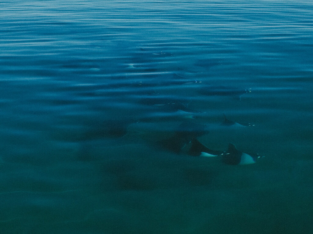
The following morning, we rose early to delve into the world underwater. We make it a habit to carry our snorkel gear on our bike tours in Baja. Snorkeling is akin to cycling because it allows for exploring new landscapes and life forms. As we swam, the agitated waters unveiled canyons of coral reefs, and each moment revealed a diverse array of big and small fish as they searched for their morning meal. When the cold set in, we started returning to shore. But, as we made our way back, our dreamy snorkeling experience turned into all-out hell when we were both stung multiple times by several tiny jellyfish. Screaming and flailing about, we eventually made it ashore to lick our wounds, pack our bikes, and begin the day’s ride.
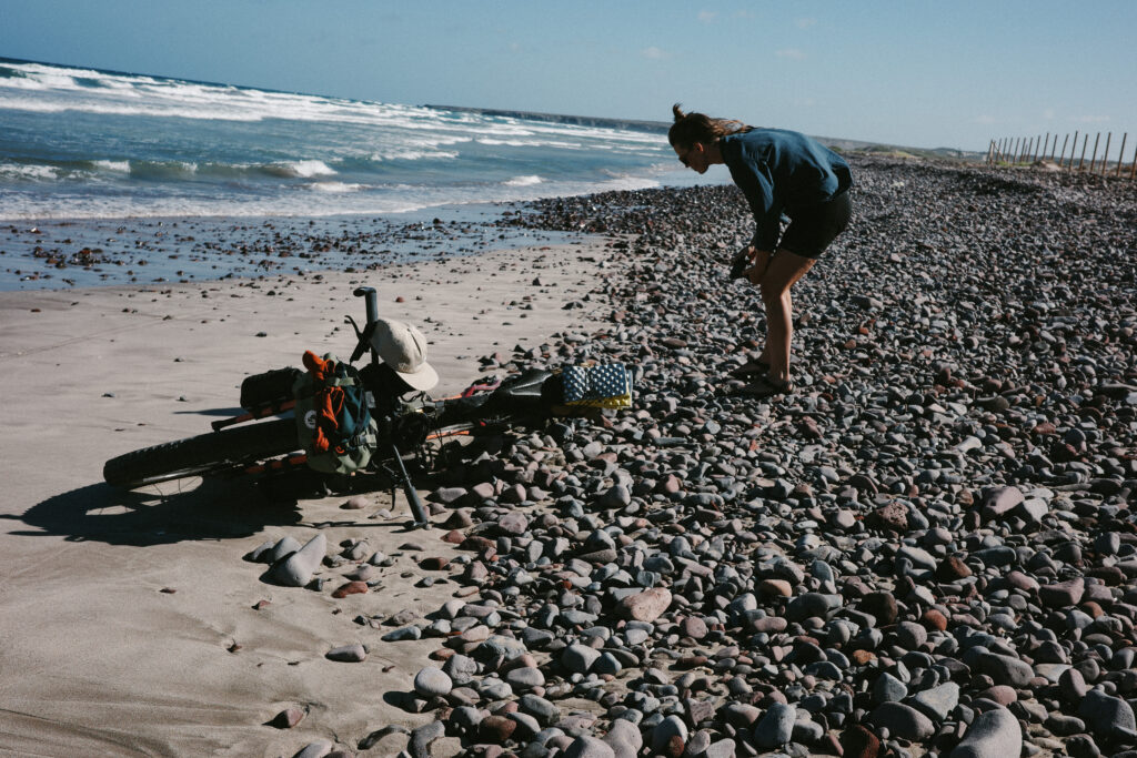
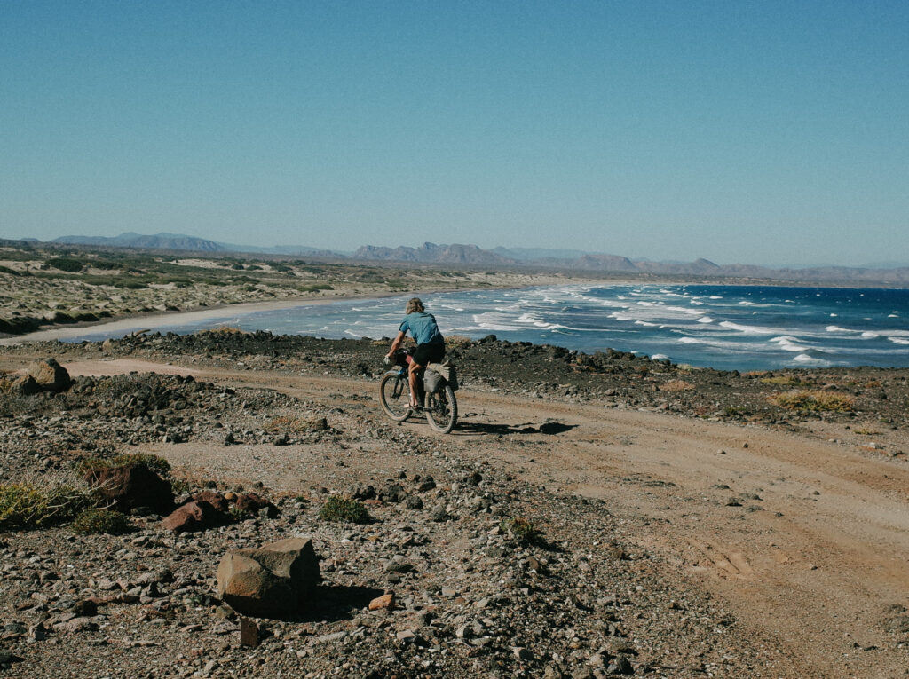
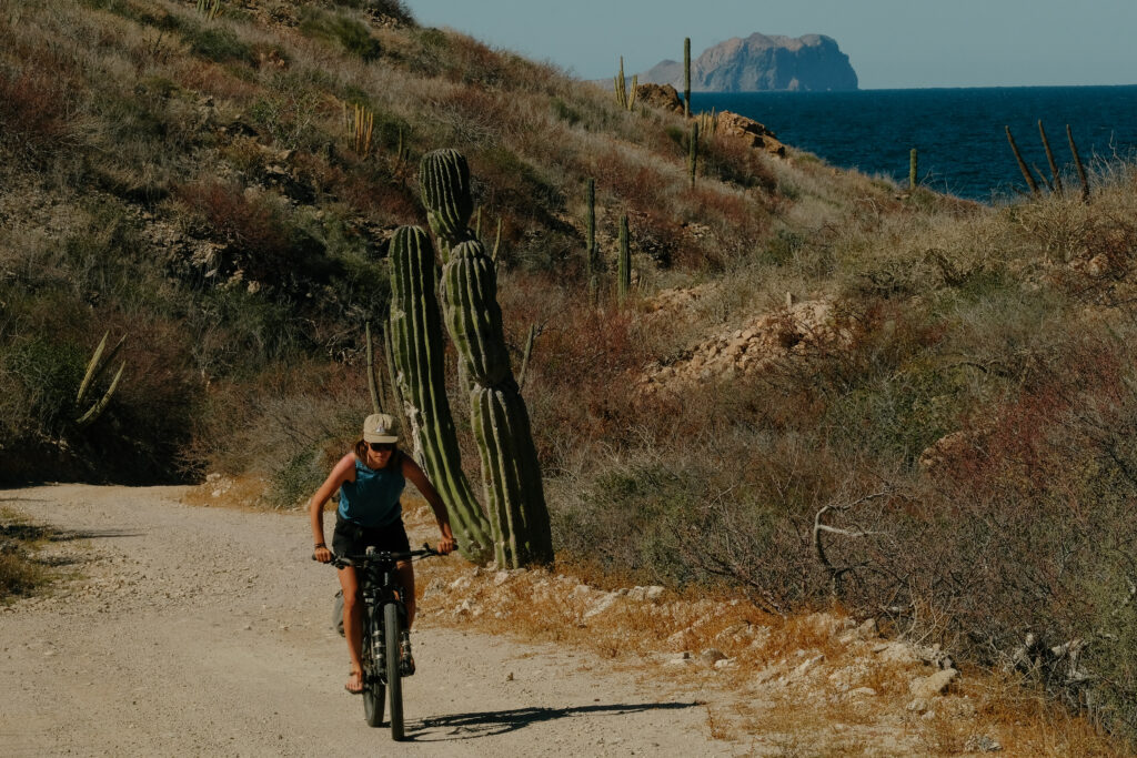
Leaving our camp, we followed faint cactus-lined double tracks around the enigmatic octopus-shaped cliff of Pulpito Point, eventually reaching Concepción Peninsula’s eastern coastline on the Gulf of California. There, we navigated the low-tide sand and cobbles until we reached our only resupply point of the trip, a small fishing village called San Nicolás.
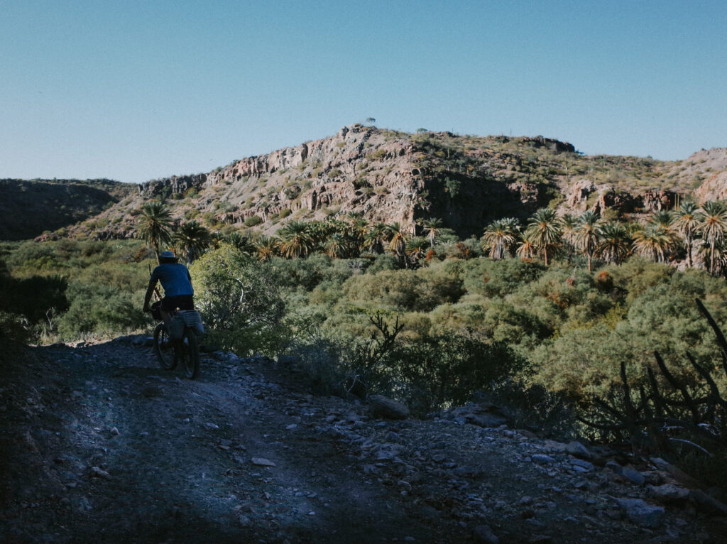
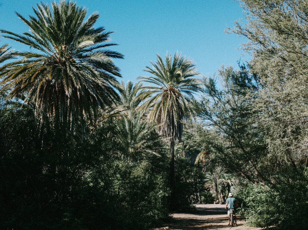
My memory of the store in San Nicolás, along the Baja Divide route, was hazy. Anticipating minimal supplies, we were taken aback by how minimal it was when a local directed us to someone’s home for the store. Inside, the shelves were nearly bare, with only a few items scattered about a sleeve of cookies, a couple of bottles of soda, a few bottles of water, a lone avocado, and a bag of nibbled-on tortillas, courtesy of the resident cat. Despite the scarcity, we decided to stock up on whatever we could, including the slightly damaged tortillas, before continuing northward.
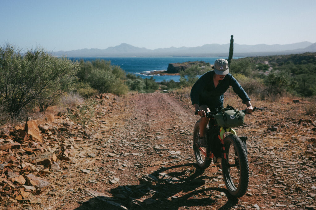
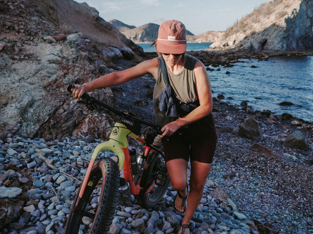
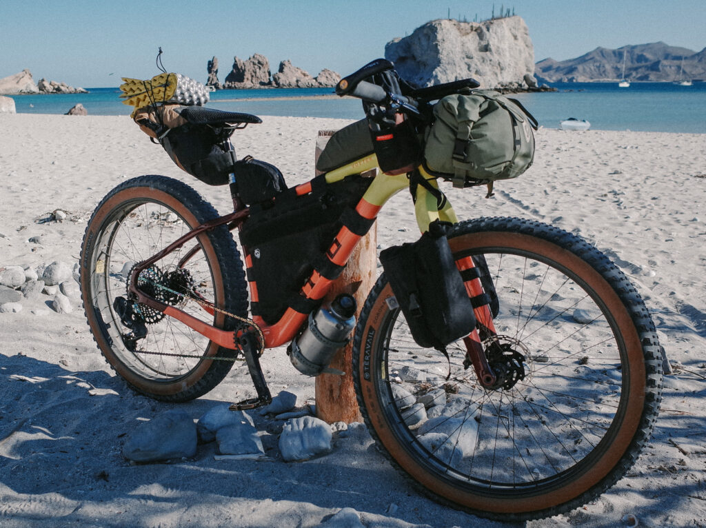
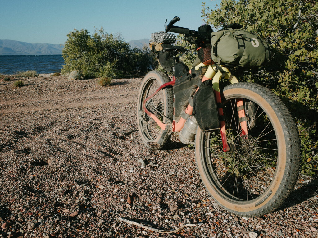
Bikepacking in Baja has its share of challenges, as the terrain can often prove more demanding than expected. While distances and elevations may appear manageable on paper, the rocky, steep, off-camber, and sandy roads, especially when traversed on a fully loaded bicycle, frequently slow progress to a crawl rather than a roll. Riding the new Otso Voytek 2 on this trip was a relief. It marked my first time riding a proper fat bike on this terrain in seven years of under-biking Baja’s rugged terrain. The Voytek 2 effortlessly handled the chunky and sandy coastal roads, yet the allure of picturesque views and inviting swim spots seemed to make the miles pass by at a snail’s pace, so much so that we did not make it as far as we had hoped our first day.
Due to our limited water and food supplies, this shortage posed a significant problem. We had one full day of riding left and one additional night of camping before the second boat could pick us up. According to my calculations, we wouldn’t have sufficient food or water for the final night of camping. If the boat was delayed due to winds, we risked being stranded at the remote north end of the peninsula without provisions while waiting for the boat or, worse, having to embark on a grueling ride off the peninsula out to Highway 2 to hitchhike.
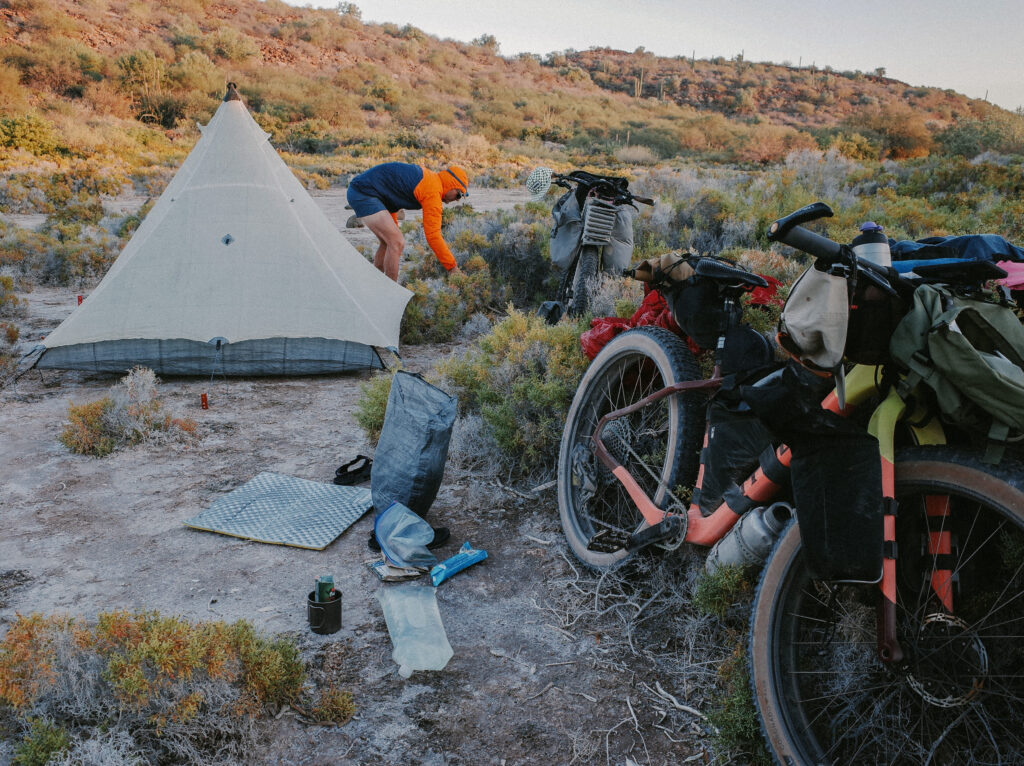
That night at camp, we faced the conundrum, spreading out our supplies and carefully tallying calories and liters. We even contemplated conserving water by skipping hydration for our dehydrated meals. Adam leaned towards taking the risk, remaining optimistic despite growling stomachs. On the contrary, I lacked confidence in our plan to press on and suggested we head towards the highway in the morning while it was still within reach.
I noticed a lone goat on the hill above our camp as we debated. Goats are a common source of meat and cheese for ranchers in Baja, so it’s not uncommon to come across a herd in such a desolate place; they can, after all, eat almost anything. The strange thing was that this goat was by itself, and while it was alive, it hadn’t moved from one spot during the entire time we were at camp. Seeking a distraction from all the uncertainties, I hiked up to investigate. Upon closer inspection, I discovered the goat’s foot trapped between two boulders, indicating it had been stuck for days. Calling Adam for assistance, we managed to free the goat, but its injuries left it unable to move. Feeling disheartened, I descended the hill, troubled by the prospect of its fate within view of our tent. Meanwhile, Adam tended to the goat, offering it plants to eat and, to my dismay, sharing some of our dwindling water supply to revive it.
As we settled into our sleeping bags, still uncertain about our plans for the next day and saddened by the goat’s plight, we heard a truck approaching. Given the remote nature of the peninsula, we hoped the driver might know the owner of the stranded goat. Flagging down the truck, we were relieved to find that the occupants were indeed the children of the goat’s owner. While Adam and the young man carried the goat to the truck, the young woman gifted me with bags of freshly smoked fish and invited us to visit their ranch a few miles away the following day to fill up the water. Suddenly, our fortunes changed. We felt a renewed sense of optimism with enough fish to sustain us for the remainder of our journey and an invitation to replenish our water supply at the ranch.
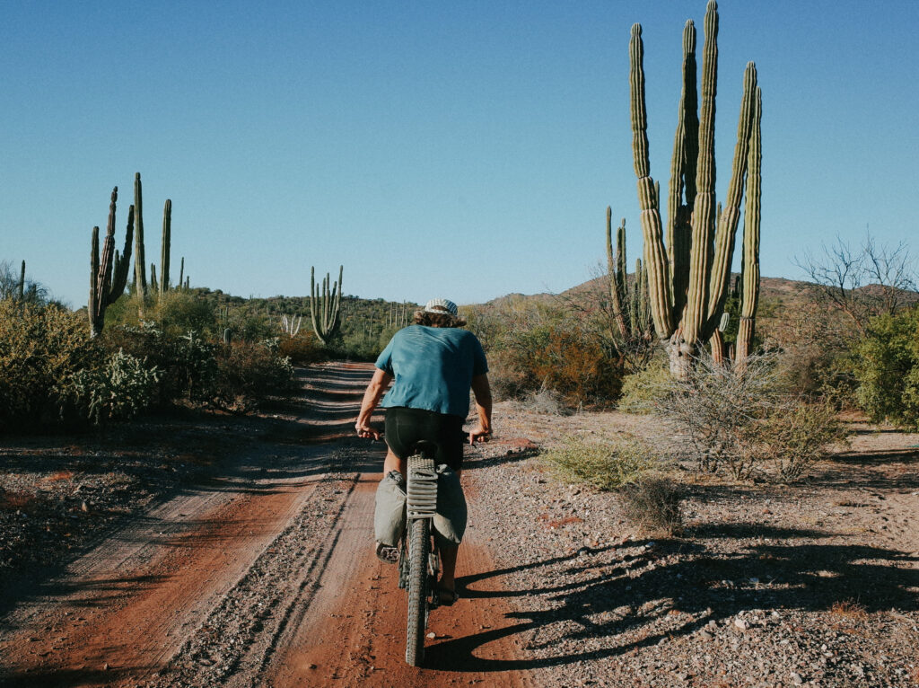
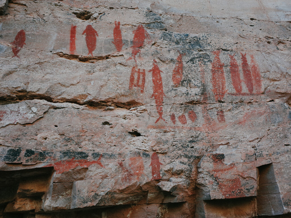
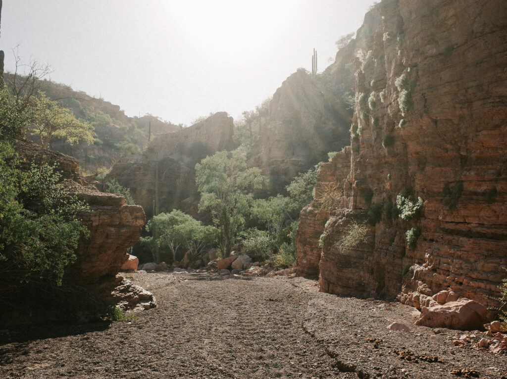
As promised, we made our way to the family’s ranch the following day, energized by our good fortune. When we arrived, we were pleased to hear that the goat from camp had rejoined the rest of the herd. We also learned that it was being aptly fed to fatten back up to make it into some birria. Welcomed warmly into their home, we reunited with the teenagers, the rancher and his wife, their youngest daughter, and a litter of kittens. Once again, the family generously shared water, fruit, and more fish. The teenage boy even offered to guide us to nearby petroglyphs, a deal we gladly accepted. Before we knew it, we had left our bikes at the mouth of a secluded canyon and were hiking amidst towering cliffs adorned with beautifully preserved ancient paintings of turtles, whale sharks, and fish.
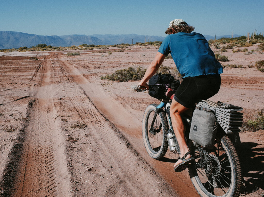
After saying goodbye to the teenage boy, we resumed our northward journey on the peninsula. However, as we emerged from the canyon, we were met with dramatically increased winds, causing the Bahía Concepción to churn with white-capped waves. Consulting my Garmin inReach, 25-30 mph wind speeds, equivalent to 21-26 knots, were reported. To assess the situation and ensure our safety, we messaged the boat driver from Mulegé, who was scheduled to pick us up the following morning. Deciding not to proceed further until we received confirmation from him, we settled in the shade for a picnic and a game of cards, knowing that if we ventured to the end of the peninsula and were unable to be picked up due to the winds, our supplies would still be insufficient for an additional day, despite the provisions received from the rancher’s family.
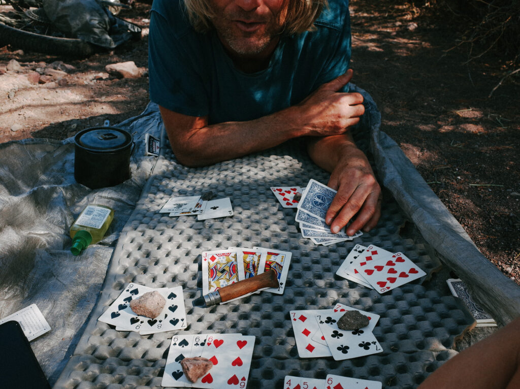
As we waited anxiously for the boat driver’s perspective on the weather forecast, the winds strengthened, intensifying our concerns about the transfer scheduled for the next day. Despite the wait, we found ourselves enjoying the moment. We had discovered a serene spot in a beautiful wash where we could relax, have lunch, and play games. However, our enjoyment was interrupted by an unexpected development. Initially, a lone wasp buzzed around our picnic, followed by more until they swarmed around us, landing on our faces and crawling into our ears. Realizing we had unwittingly set up our picnic near an underground hive, panic ensued as we hastily packed our gear amidst the buzzing swarm. At the road juncture, we faced a pivotal decision. Turning right would mean committing to riding to the peninsula’s north end and banking on the boat ride with still no word from the boat driver. Turning left would mean abandoning our plan, riding out of the peninsula, and hitchhiking back to base camp. Without hesitation, we exchanged a glance and screamed, “LEFT!” as we fled from the wasps.
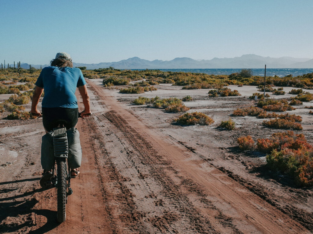
Satisfied with our decision, we retraced our route towards Highway 2, aiming to hitchhike toward our base camp. Our resolve was bolstered by a robust 30 mph tailwind, propelling us forward. Arriving at Highway 2 as the sun dipped behind the mountains, we braced ourselves for what we anticipated would be a lengthy wait for a ride. I stuck out my thumb, and to our astonishment, the first passing car pulled over. The driver, coincidentally supporting a cyclist on the Baja Divide, had an empty bike rack on his Jeep. In less than ten minutes, from sticking out my thumb to loading up his Jeep, we were on our way—a testament to another Baja miracle. He dropped us off an hour later, allowing us to complete the final twelve miles back to our base camp. As we journeyed homeward, with the sky transitioning from pink to purple to blue, we caught glimpses of the octopus cliff that had sparked one of the most condensed and amusing adventures we’d ever experienced. We chuckled, agreeing that such escapades could only happen in Baja.
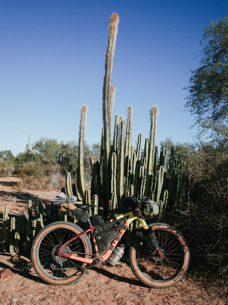
Some of the most fulfilling adventures occur when you let go of control. Admittedly, the plan for this adventure was complex and risky. We pursued a clear goal diligently, yet circumstances beyond our control, our spontaneous approach, and some lack of preparation made our journey incomplete. However, I see this trip as a success. It was more successful than achieving any specific goal because we fully immersed ourselves in the adventure, allowing it to unfold naturally by embracing opportunities and heeding the signs. In return, we were rewarded with tailwinds, an abundance of generosity, and plenty of fun. Ultimately, it wasn’t about reaching a predetermined destination but embracing the journey itself and the unexpected moments that arose along the way.
*Traditionally, I meticulously share specific names and locations I reference in my stories and resources, but I intentionally keep the location vague in this case. With the Baja Peninsula attracting increasing U.S. travelers, apps like iOverlander have made finding remote campsites effortless. Despite being listed on iOverlander, I refrain from sharing the name or exact location to preserve its unique character. This area is transitioning into a conservation zone, and such pristine locations are becoming scarce in Baja California. Those of you who are familiar enough with the Baja Peninsula should be able to connect the dots.


